
Tools
What Tools are we Creating?
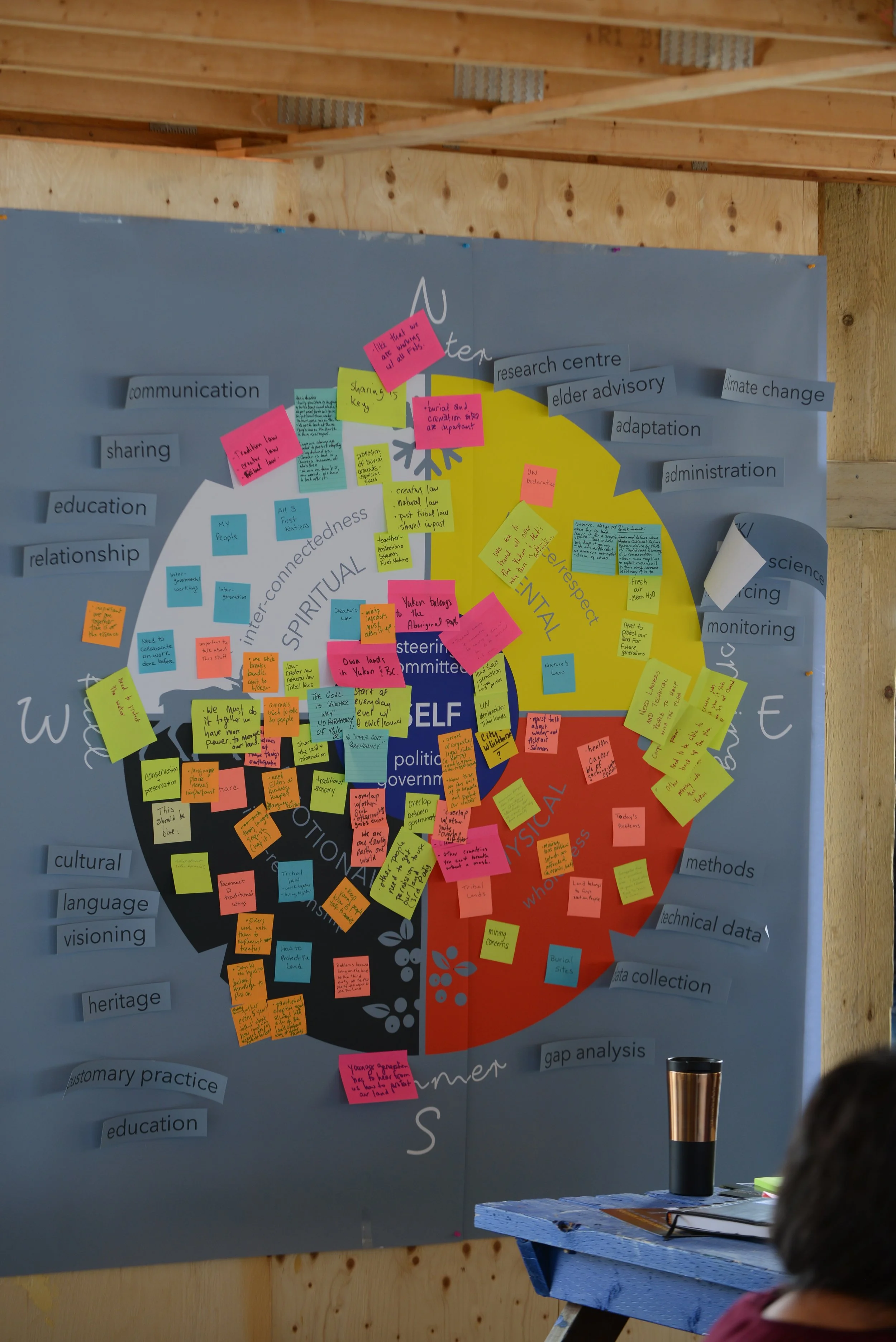
HWW is creating a Shared Land and Water Vision that brings historic and current knowledge together to look at how we can create a sustainable future for the region. This shared vision will help inform decision-making now, as we start a formal planning processes with other governments, and in the future.
This work is rooted in Indigenous story, law, and knowledge, woven together with western science.
The Shared Land and Water Vision will include:
-
The Nations
Who are the three HWW Southern Lakes First Nations
-
HWW Approach & Processes
How our Nations have worked together in a good way through this initiative
-
Written Vision Statement
Overarching vision for the future of the Southern Lakes Region from the communities
-
Map-Based Land & Water Vision
Displaying eco-cultural values spatially on the land and water (what is important, and where)
-
Recommendations and Calls-to-Action
Southern Lakes First Nations’ Ways and Laws applied in a regional planning context (recommended actions including the ‘how’ and ‘why’)
Our Process
How we do our work
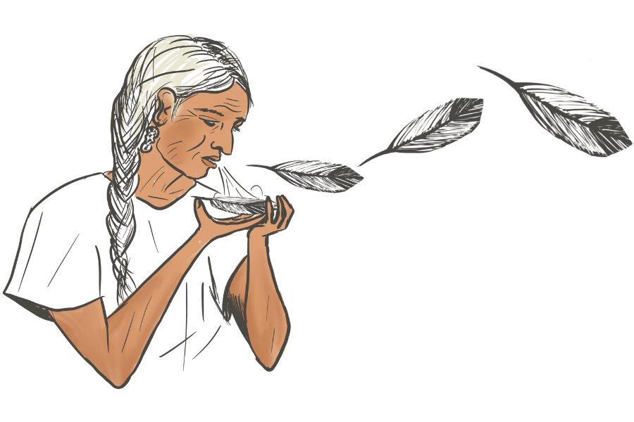
Staying Culturally Grounded
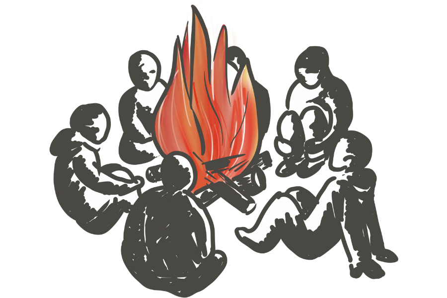
How We Walk strives to follow a holistic process, grounded in Indigenous worldviews, laws, governance, and knowledge systems. Communication and collaboration throughout all that we do are fundamental to this initiative. The way in which we communicate and share knowledge is informed by our Nations’ oral traditions and storytelling practices, ensuring everyone's voices are heard.
Guided by Elders
Our work is guided by the Elders of the Southern Lakes First Nations. Their guidance on customary laws and practices inform everything that we do; how we communicate, engage with communities, and interact with the land and water.
Led by Community
This initiative is led by the HWW communities. Through meetings, open houses, gatherings, and having tea, we aim to ensure that all Citizens have the opportunity for meaningful involvement.
Approaching Through Interconnectedness
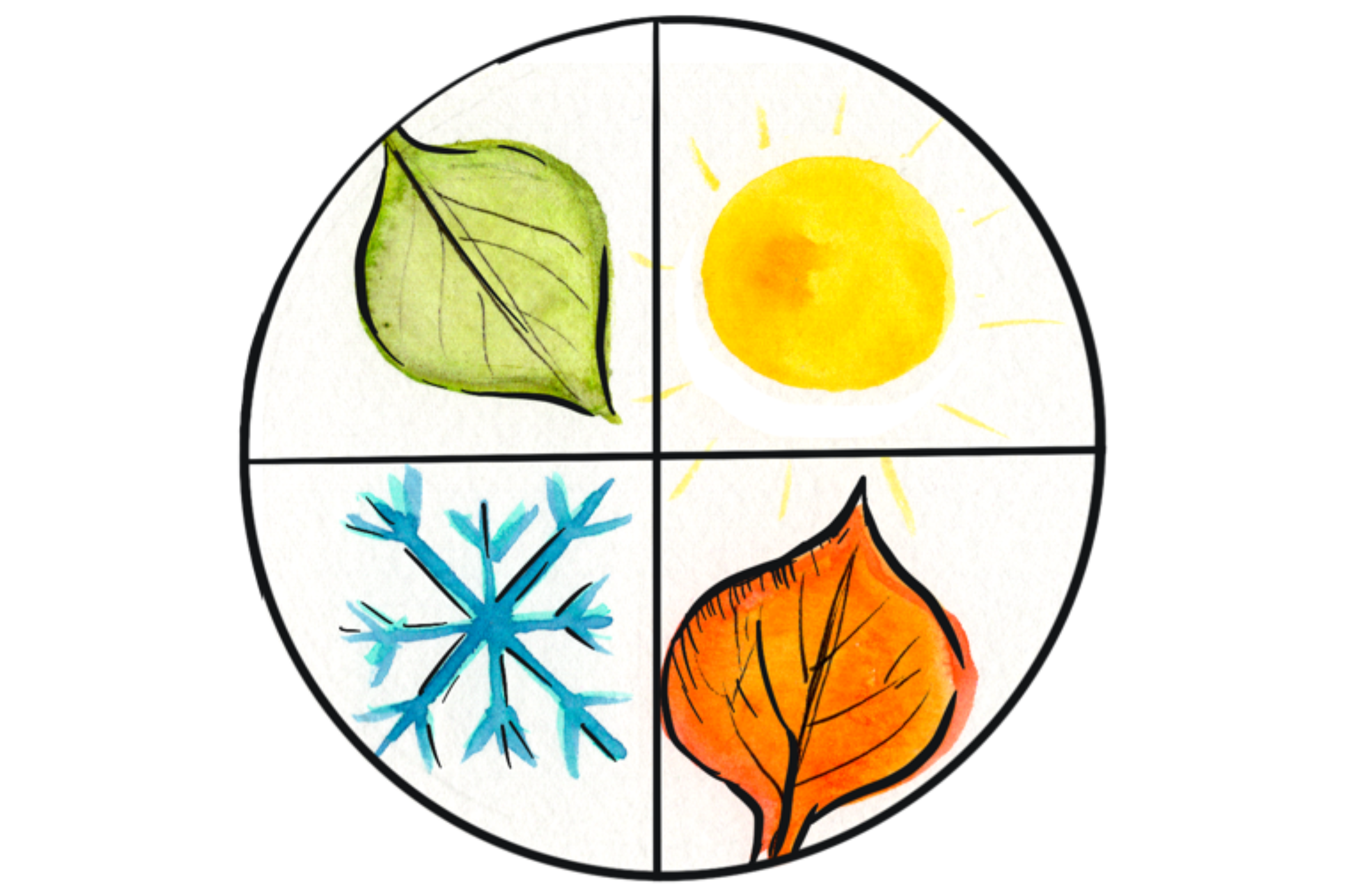
Our work is built on the Indigenous worldview that culture is inseparable from land, water, and animals; and changes throughout the seasons. Therefore, we approach our work through an interconnected lens, understanding that the lands, waters, and peoples must be treated as a whole.
Weaving Traditional Knowledge and Western Science
Our work weaves Traditional Knowledge with Western Science to capture the full range of values in the Southern Lakes region. Western scientific methods such as GIS software are utilized to develop our Map-Based Land & Water Vision, while Traditional Knowledge comprises the majority of our data inputs. Our process is a translation of First Nations values and perspectives into a Western context, such as mapping and recommended actions, to support planning with other governments.
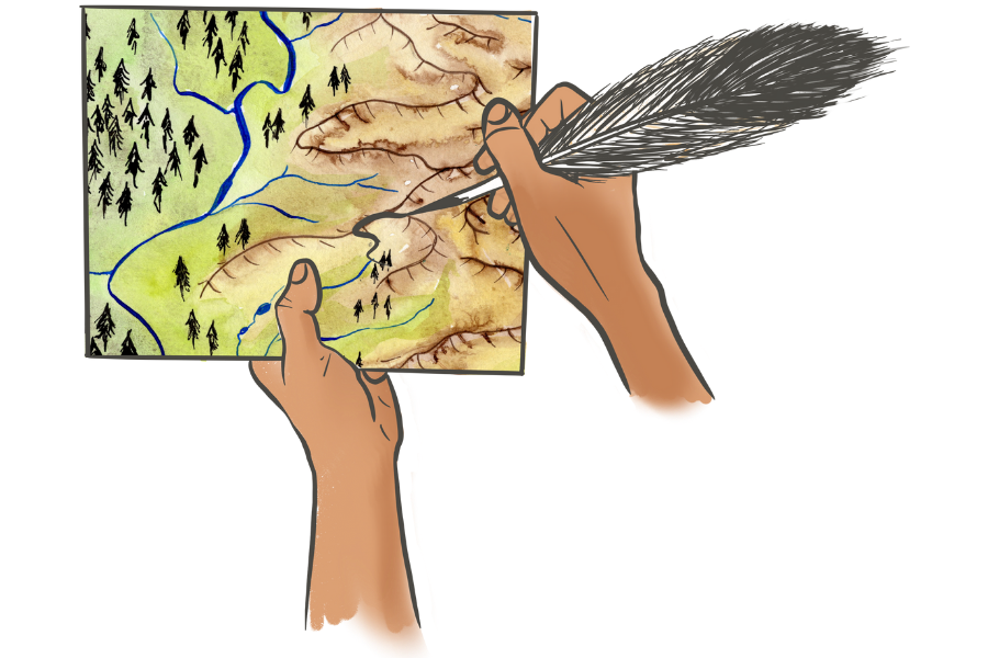
Mapping
Bringing Our Map-Based Land and Water Vision into Focus
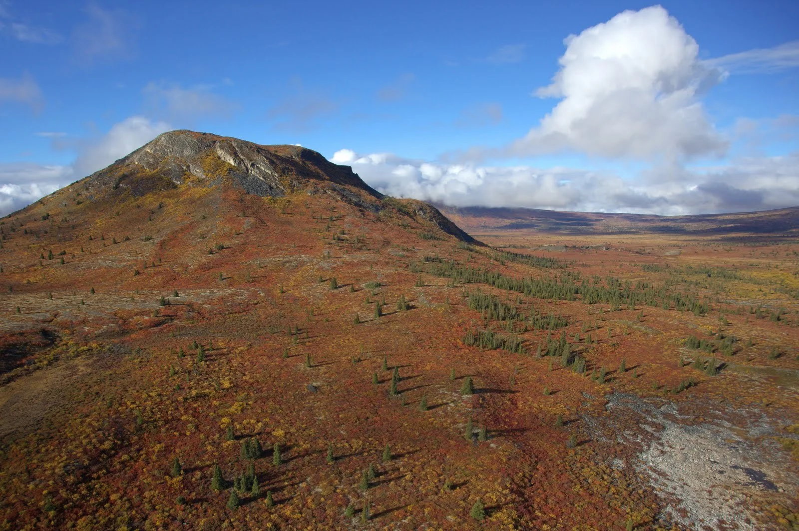
Our extensive mapping work focuses on identifying what the landscape and its inhabitants need, what the communities need, and how they interconnect. Human and landscape needs are inseparable–each one relies on the other.
Landscape Needs
The health of our animal, fish, and plant relations reflects the health of the overall landscape and its people. It is our responsibility to ensure each of these species has enough space to meet their needs. Protecting habitats ensures the health of wildlife, recognizing their importance within the ecosystem and cultural practices.
Human Needs
The health of our communities is reliant on connections to the land and water. It is our responsibility to ensure that there are accessible areas to foster cultural connections for generations to come.
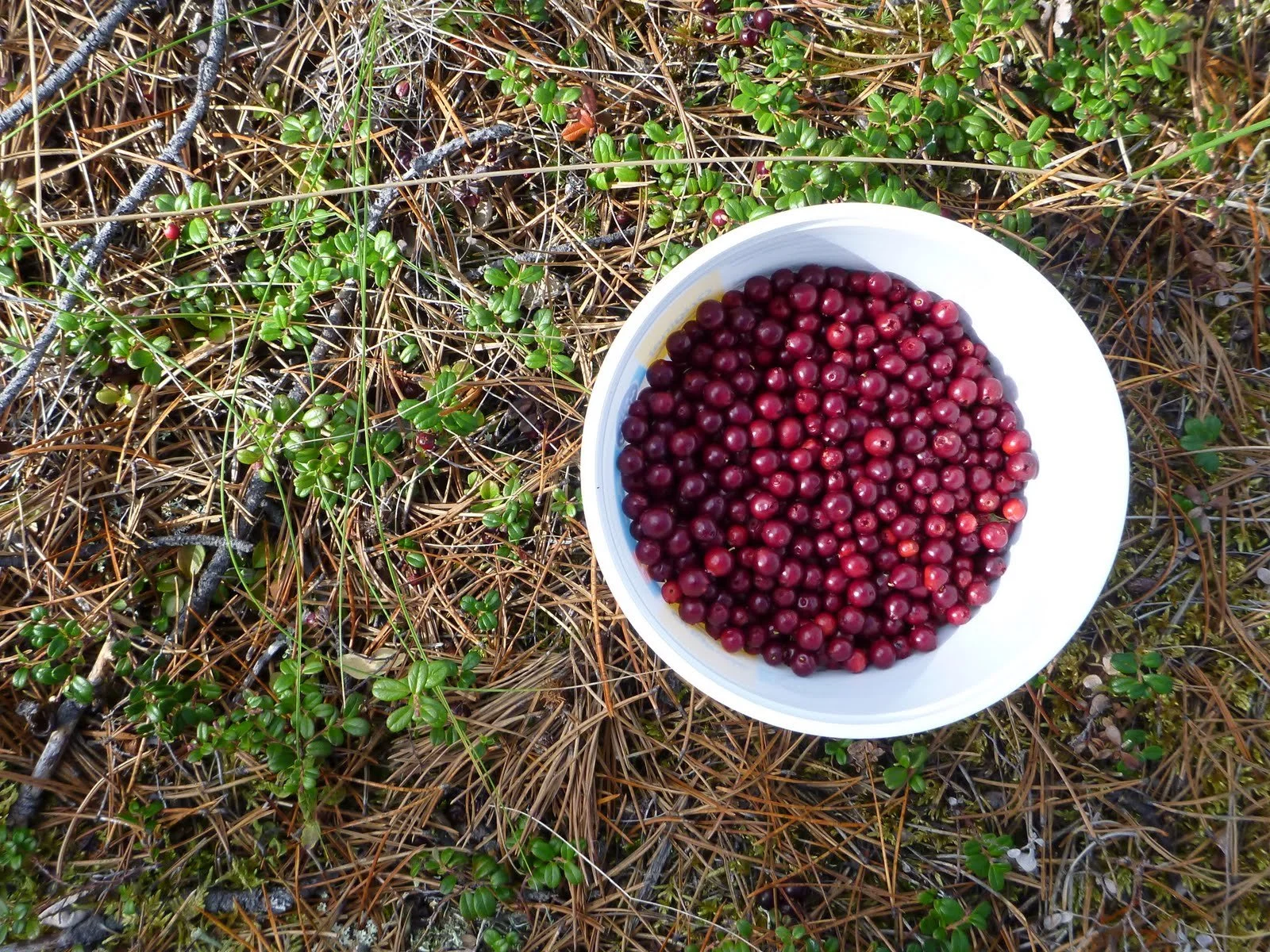
Our work brings together themes such as traditional food sources, access across landscapes, and places of cultural significance. Simultaneously, we view various species habitats through a seasonal lens and explore how these themes all relate and interconnect.

Building Our Maps & Models
To date, we have developed over 60 maps and models. Individually, each map/model shares important and specific information that can help guide decisions.
We are currently working to bring these individual maps and models together to form our Map-Based Land and Water Vision. The mapped vision will show key areas and corridors that need to be looked after and considered in regional planning.
Ultimately, this vision will help the HWW Nations in meeting the needs of the land, water, communities, and all relations.
This collection of maps provides a foundation for understanding the complex relationships between people, land, water and all things living, acknowledging that everything is connected.
-
Caribou Habitat (summer, winter) & Connectivity
Moose Habitat (spring, summer, winter)
Sheep Habitat (summer, lambing) & Connectivity
Goat Habitat
Salmon Habitat
Grayling & Lake Trout Habitat
Muskrat Habitat
Grizzly bear Habitat
Traditional Place Names (Southern Tutchone, Tagish, Tlingit)
Routes & Trails
Human Footprint
Climate Change (predicted changes)
Predictive Ecosystem Model
Freshwater Aquatic Classification Model
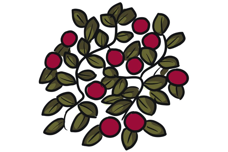
Gathering models including: balsam, rosehip, yarrow, cranberry, grouse species, ptarmigan, and, gopher
Special places maps including: burial & cremation sites, ice patches, petroglyphs, salt flats, groundhogs
Recommendations and Calls-to-Action
Paths for Change, Grounded in Land and Water
Our Recommendations and Calls-to-Action are a translation of the Southern Lakes First Nations traditional ways and laws to a regional planning context. They explain ‘how’ and ‘why’ we do things in a certain way.
We will provide recommendations for the HWW Nations on the following:
How to approach planning differently | Moving towards an ‘Indigenous approach’ to regional land and water relationship planning. What does this look like and why is it important?
How to develop a plan | How the HWW Nations can work together ‘in a good way’ with other parties in a planning process
Contents of a plan | What are critical directions to consider in a regional land and water relationship plan?
How to implement a plan | How can we work together after the plan is developed?
How to share information | Guidance for sharing HWW information between Nations, and with parties external to the Nations.
“They [Recommendations and Calls-to-Action] will present the solutions Elders have learnt and have taught, on how to properly walk with the land and water so both our relatives on the landscape and ourselves can exist in good relations.”
Calls-to-Action Working Group Direction